Land Surveying
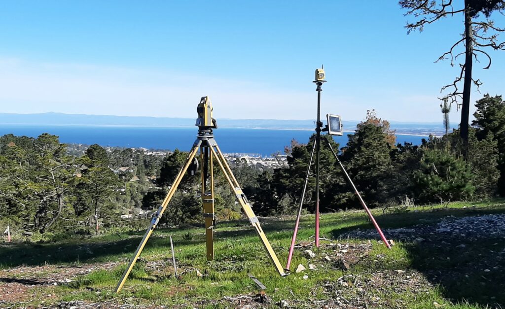
Landset Engineers, Inc. provides a wide range of land surveying services, including GPS and traditional surveys for aerial mapping control, boundary surveys, topographic mapping, construction staking, and various surveys necessary to support civil engineering design.
Our experienced, courteous, and efficient field crews provide high quality surveys that are used by professional office staff to prepare a variety of plans and maps, including:
-
Topographic Maps
-
Records of Survey
-
Legal Descriptions with Plat Exhibits
-
Parcel Maps
-
Subdivision Maps
-
AS-Built Drawings
-
A.L.T.A. Surveys
-
Lot Line Adjustments
-
Control Networks and Precise Leveling
-
Flood Zone Certification